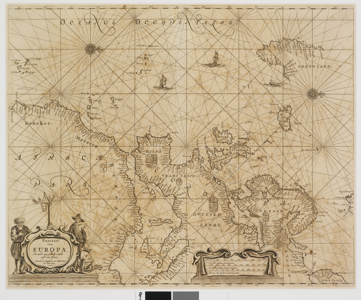
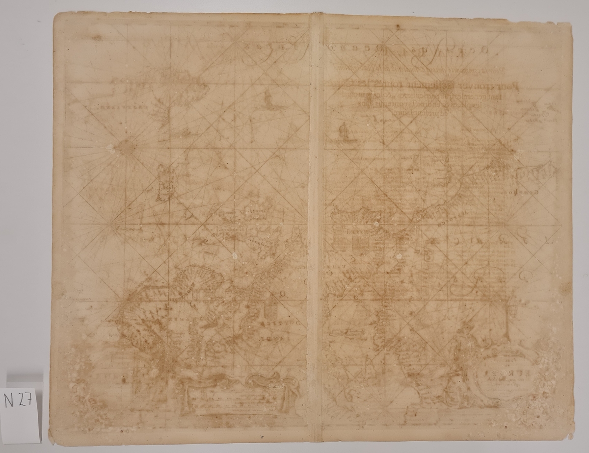
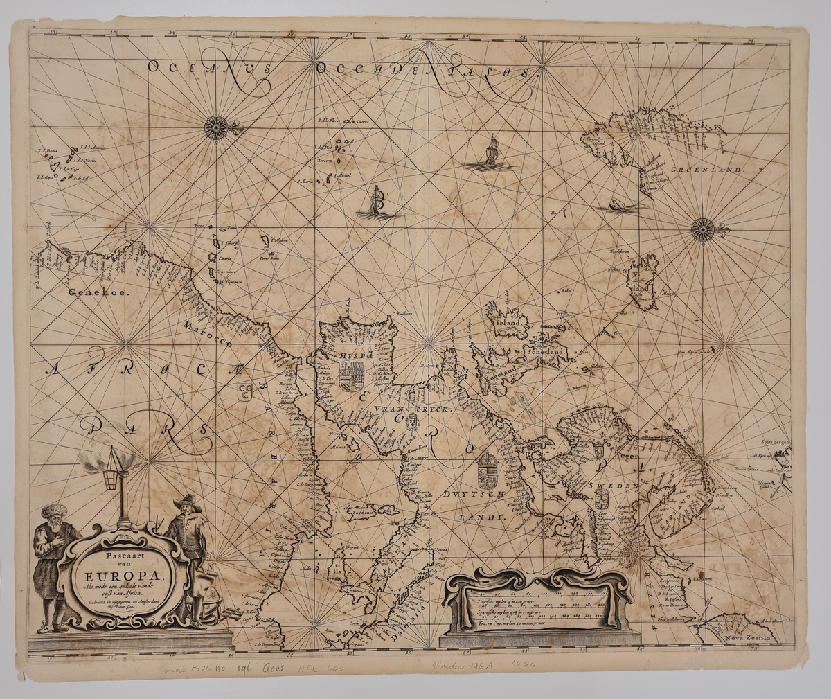
Kart som har vært del av Varmingsamlingen. Varmingsamlingen inneholdt kart fra 1598 til 1827 om besto av omkring 1500 bøker, 60 kart og 250 svalbardsedler, alle med tilknytning til Svalbard og arktis.
Kart over Europa med Grønland, Island og en del av Spitsbergen. Kartet er antatt utgitt 1666 av Pieter Goos i Amsterdam og ble publisert i atlaset De Zee-Atlas ofte Water-Weerelt.


Add a comment or suggest edits
To publish a public comment on the object, select «Leave a comment». To send an inquiry directly to the museum, select «Send an inquiry».